North America’s 6th Great Lake was larger than the other great lakes combined
Long before the Great Lakes came to define the heart of North America, a much larger lake once ruled the land.
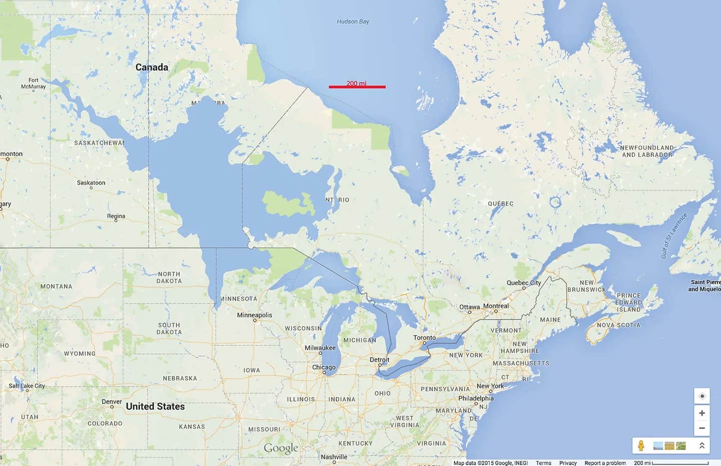
Lake Agassiz no longer exists, however, it was one of the largest lakes in North America during the last ice age at an estimated size of around 170,000 square miles. (CREDIT: CC BY-SA 4.0)
Long before the Great Lakes came to define the heart of North America, a much larger lake once ruled the land. Lake Agassiz, a prehistoric inland sea, spread across the continent with a reach that today’s lakes can’t match. Though now gone, its legacy shaped the land and climate we know today.
Today’s Great Lakes—Superior, Michigan, Huron, Erie, and Ontario—are impressive in their own right. Lake Superior alone spans more than 31,000 square miles. If you count Michigan and Huron as one system, since their waters connect, they stretch a combined 45,300 square miles. Together, the Great Lakes make up the planet’s largest group of freshwater lakes, holding 21% of Earth’s surface fresh water.
But even all of that pales next to the ancient giant that was Lake Agassiz. More than 10,000 years ago, during the last ice age, this vast lake covered around 170,000 square miles. It carved valleys, filled basins, and even shifted the region’s weather.
Lake Agassiz got its name from Louis Agassiz, a Swiss-American naturalist who first proposed its existence in the 1800s. Its enormous footprint stretched from the Rocky Mountains all the way to the Appalachian range. From the Arctic Ocean down toward the Gulf of Mexico, this inland sea once covered much of central Canada and parts of the northern United States.
Its birth came with the retreat of the Laurentide Ice Sheet, which had once blanketed most of the continent. As this icy mass melted, meltwater rushed into low-lying areas, forming giant lakes—Agassiz chief among them. In time, this inland sea came to dominate the central plains.
The lake swelled with water from many rivers, including the Red River of the North, the Minnesota River, and the Winnipeg River. In places, it reached depths of more than 700 feet. At its height, Lake Agassiz held more water than all of the Great Lakes combined.
This colossal water body did more than just flood the land. It altered the region’s climate by changing wind patterns, making surrounding areas wetter and more humid. The scale of its impact stretched well beyond weather.
The lake’s presence shaped ecosystems and redirected the paths of animals and people alike. As early humans spread across the continent, they followed the contours left behind by this lost sea. Lake Agassiz may have vanished, but it left behind a continent forever transformed.
Related Stories
One of the most significant events associated with Lake Agassiz was the catastrophic flooding that occurred when its ice dam broke. The ice dam, which formed at the southern end of the lake, was created by the accumulation of glacial ice that prevented the lake from flowing into the Mississippi River.
As the water level in Lake Agassiz rose, the pressure on the ice dam increased. Eventually, the dam gave way, releasing a massive flood that swept across the northern United States and Canada. The floodwaters carved deep channels in the landscape, creating features such as the Grand Coulee and the Columbia River Gorge.
The effects of the Lake Agassiz flood were felt as far south as the Gulf of Mexico, where sediment deposits from the flood were found. The floodwaters also altered the course of several major rivers, including the Missouri and the Mississippi.
Today, Lake Agassiz is no longer visible on the landscape, as it drained completely after the last ice age. However, its legacy can still be seen in the features it left behind, including the Red River Valley and the many lakes and wetlands that dot the region.
Scientists continue to study the history and impact of Lake Agassiz, using a range of tools and techniques to understand this prehistoric giant. One of the most significant recent discoveries has been the use of sediment cores from the lake bed, which provide a detailed record of its history and the environmental conditions of the time.
These sediment cores have revealed a wealth of information about the climate and ecology of North America during the last ice age, as well as the changes that occurred as the ice sheet retreated and the lake drained. They have also provided insights into the evolution of plant and animal species, as well as the movements of early human populations.
The study of Lake Agassiz has also shed light on the broader field of paleoclimatology, which seeks to understand past climate patterns and their impact on the planet. By studying the climate of the past, scientists hope to gain a better understanding of the current and future changes that are occurring, as well as a result of human activity.
One of the key findings from the study of Lake Agassiz is that the climate of North America during the last ice age was much more variable than previously thought. While the prevailing view was that the region was uniformly cold and dry, the sediment cores from Lake Agassiz suggest that there were significant fluctuations in temperature and precipitation.
These fluctuations are thought to have been driven by a range of factors, including changes in ocean circulation, solar activity, and atmospheric circulation patterns. Understanding these factors and their impact on the climate of the past can help scientists better predict and prepare for future climate change.
Another important aspect of the study of Lake Agassiz is its relevance to Indigenous communities in the region. For many Indigenous peoples, the lake and its surroundings hold significant cultural and spiritual importance.
The study of the lake's history and impact can help to deepen our understanding of Indigenous knowledge and perspectives, and to support Indigenous-led research and management of the region.
In recent years, there have been efforts to incorporate Indigenous perspectives and knowledge into the study of Lake Agassiz and its legacy. For example, the University of Manitoba's Centre for Earth Observation Science has partnered with Indigenous communities in the region to develop a shared understanding of the lake's history and significance.
These efforts have also highlighted the need for greater collaboration and engagement between Indigenous and non-Indigenous researchers and stakeholders. By working together, we can gain a more comprehensive and inclusive understanding of the past and present of the region, and work towards a more sustainable and equitable future.
The legacy of Lake Agassiz extends beyond the fields of science and culture, and has important implications for policy and management in the region. The many lakes and wetlands that were formed as a result of the lake's drainage provide important ecosystem services, including water filtration, carbon sequestration, and wildlife habitat.
However, these ecosystems are facing a range of threats, including habitat loss and fragmentation, pollution, and climate change. To protect and restore these ecosystems, there is a need for coordinated and integrated management approaches that take into account the multiple social, economic, and environmental values at stake.
In recent years, there have been efforts to develop such approaches, including the Lake Winnipeg Basin Initiative, a collaborative effort to improve the health and resilience of the lake and its watershed. The initiative brings together Indigenous and non-Indigenous stakeholders from across the region to develop and implement a shared vision for the future of the basin.
Efforts such as these demonstrate the potential for collaborative and integrated approaches to environmental management, and highlight the importance of recognizing and respecting the multiple perspectives and values at play in complex environmental issues.
Lake Agassiz may be a prehistoric giant, but its legacy continues to shape the landscape and people of North America. By studying its history and impact, we can gain a better understanding of the complex and interconnected systems that shape our planet, and work towards a more sustainable and equitable future for all.
Note: Materials provided above by The Brighter Side of News. Content may be edited for style and length.
Like these kind of feel good stories? Get The Brighter Side of News' newsletter.