NASA satellites help scientists observe how rivers carve the Earth
Virginia Tech researchers show NASA’s SWOT satellite can track river change, sediment forces, and even dam failures at scale.

 Edited By: Joshua Shavit
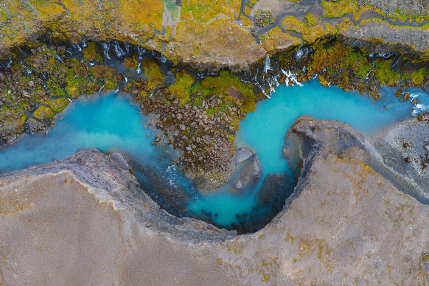
A NASA water satellite is helping scientists study how rivers reshape land, from large river motion to steep drops and sediment-moving forces. (CREDIT: Shutterstock)
A satellite built to measure Earth’s water has started answering a different kind of question. “What’s the shape of water?” Specifically, “How is water reshaping the ground beneath it?”
NASA launched the Surface Water and Ocean Topography satellite, known as SWOT, in 2022. Its main job is to measure the height and spread of water across the planet. Now, Virginia Tech geoscientists say the same measurements can help you see rivers at work as builders and destroyers of landscapes.
“We wanted to show how the satellite could be used in ways that it wasn’t primarily designed for,” said postdoctoral associate Molly Stroud, first author of a recent publication in the Geological Society of America Today. “How are rivers and streams moving sediment and shaping the Earth’s surface?”
That question sits at the center of fluvial geomorphology, the field that studies how flowing water sculpts land. For years, this work often felt slow and local. Researchers might spend days measuring one reach of one river. They would map cross sections, estimate sediment movement, and try to infer flood risk.
SWOT does not replace that work. It changes the scale of what you can ask.
“SWOT allows us to cover all the rivers in the world and understand how they’re evolving,” Stroud said. “It really transforms the scale at which we can study rivers.”
A New Tool For a Wide, Restless World
Fluvial geomorphologists have long depended on aircraft surveys and field campaigns. Those methods can be detailed, but they are hard to repeat everywhere. They also struggle to keep up with rivers that shift after storms, drought, or human changes upstream.
The Virginia Tech team argues SWOT can add a global, repeatable view. The satellite’s measurements can help you compare rivers across regions. They can also help you watch how channels change over time.
George Allen, an associate professor in geosciences, said the satellite’s promise was not fully recognized in the river research world. “I don’t think it was any secret that SWOT could probably be used for fluvial geomorphology, but the great potential of the satellite wasn’t on the radar for much of that community,” he said.
He said the paper aims to make the case plainly. “The purpose of this paper was to say, hey, look, there’s this great new tool that can be used to do brand new things in this field,” Allen said.
That pitch matters because rivers do not just carry water. They carry sand, silt, and gravel. Over years, that moving load can carve valleys, build deltas, and shift floodplains. It can also threaten roads, bridges, and homes.
What the Team Tested With SWOT Data
"To show what SWOT can do for river science, our researcher team highlighted three applications. Each one ties the satellite’s water measurements to forces that shape the land," Stroud told The Brighter Side of News.
"The first is large river dynamics. Big rivers change through gradual shifts in flow and channel form. Those changes can control where erosion bites into banks, and where sediment builds bars," she added.
"The second is sharp breaks and slopes along a river, such as waterfalls. These steep spots can act like speed bumps in a river system. They can also act like cutting tools. A river dropping over a sharp break can chew into bedrock and move the break upstream," she continued.
"The third is shear stress, a measure that helps scientists understand how much sediment water pushes along. When shear stress rises, water can pry loose more material from the riverbed. When it falls, sediment can settle and reshape the channel," she concluded.
The work also included Julia Cisneros of the Department of Geosciences. The team collaborated with researchers at the University of Colorado and Brown University. Together, they used the paper to show how SWOT’s view could support questions that used to require heavy field investment.
The goal is not to turn rivers into simple lines on a map. It is to give you a wider lens on processes that often play out beyond the reach of a single study site.
Watching Failure Before and After it Happens
The researchers also point to a high-stakes use: tracking dam failures.
Across the United States, there are thousands of dams. Many are old. Many sit in watersheds that can see sudden floods. Still, “no one can say exactly when a dam will fail or the long-term effects a failure will have on rivers or the ecological communities they support,” the researchers note.
From a distance, a dam failure can look like a single moment. Up close, it can change a river for years. It can send a surge that rearranges channels downstream. It can also shift sediment in ways that affect habitats.
The team says SWOT can help by observing water height and extent through time. With repeated measurements, you can track how water levels respond to a breach. You can also track how a river settles into a new shape afterward.
“As SWOT accumulates a longer record, we’ll be able to get a better understanding of questions like these and others in the field of fluvial geomorphology,” Stroud said.
That “longer record” matters because rivers tell their stories in sequences. One storm can be dramatic, but patterns emerge across seasons. A channel may recover, or it may keep unraveling. Repeated satellite passes can help you see which path it takes.
For now, the researchers are clear that this is early. “But for now, they’re just getting their feet wet.”
Practical Implications of the Research
If SWOT helps researchers study rivers worldwide, the benefits could reach beyond academic curiosity. Better tracking of river change can improve how communities prepare for floods, erosion, and infrastructure risk. When you understand where a river is likely to cut into banks, you can plan roads and bridges more wisely. When you understand where sediment tends to collect, you can better predict shifting channels that affect navigation and habitat.
The work could also sharpen how scientists evaluate dam safety and downstream impacts. If satellite records make it easier to observe sudden changes in water height and spread, researchers may learn faster from each failure and near-failure. Over time, that could guide better emergency planning and smarter maintenance priorities.
For the research community, the main impact is scale. The team argues SWOT can complement field studies by pointing to where the biggest changes happen. That can help scientists choose study sites with clearer signals. It can also help connect local measurements to global patterns of river behavior.
Research findings are available online in the journal GSA Today.
Related Stories
- Tiny earthquakes reveal hidden faults where San Andreas meets Cascadia
- Slow orbital wobbles drove drastic climate swings on Earth
- Tectonic research finds that Earth has six continents not seven
Like these kind of feel good stories? Get The Brighter Side of News' newsletter.
Joseph Shavit
Writer, Editor-At-Large and Publisher
Joseph Shavit, based in Los Angeles, is a seasoned science journalist, editor and co-founder of The Brighter Side of News, where he transforms complex discoveries into clear, engaging stories for general readers. With vast experience at major media groups like Times Mirror and Tribune, he writes with both authority and curiosity. His writing focuses on space science, planetary science, quantum mechanics, geology. Known for linking breakthroughs to real-world markets, he highlights how research transitions into products and industries that shape daily life.