Millions at risk: 28 major U.S. cities are sinking
New data reveals land in major U.S. cities is sinking, posing growing threats to buildings, roads, and public safety.
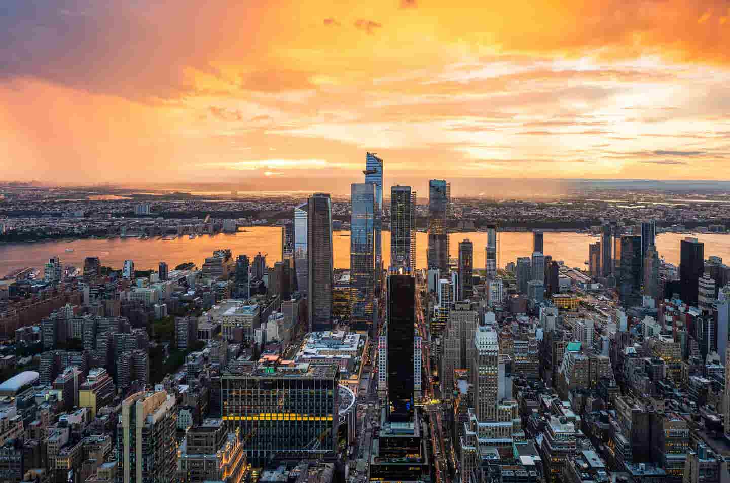
New research reveals land in 28 major U.S. cities is sinking—endangering homes, roads, and millions of people. (CREDIT: Getty Images)
The ground beneath America’s busiest cities is slowly sinking, and with it, the buildings, roads, and bridges that support everyday life. This process, known as land subsidence, may not grab headlines like floods or earthquakes, but its long-term impact is just as serious. When even a few millimeters of ground shift happens each year, the damage can silently build up, weakening the foundation of major infrastructure and increasing the threat of urban flooding.
A Growing, Hidden Threat in Urban Centers
Across the United States, at least 28 of the country’s largest cities are experiencing land subsidence. In a study published in Nature Cities, researchers from Virginia Tech used satellite radar technology to measure how quickly these cities are sinking. The results were startling: in every city analyzed, at least 20 percent of the urban area is subsiding. In most cases, over 65 percent of each city showed signs of downward land motion.
The research, led by Leonard Ohenhen and Associate Professor Manoochehr Shirzaei, mapped land elevation changes from 2015 to 2021 using high-resolution satellite data from Sentinel-1. Their study covered cities home to about 34 million people — or nearly 12 percent of the U.S. population. That means tens of millions are unknowingly living on unstable ground.
Some areas are more affected than others. In parts of Houston, for instance, land is sinking by as much as 10 millimeters a year — almost half an inch. Other cities like New York, Denver, and Seattle are subsiding at about 2 millimeters a year, which may not sound like much. But small, constant shifts can add up and compromise entire systems over time.
“A lot of small changes will build up over time, magnifying weak spots within urban systems and heighten flood risks,” said Ohenhen.
Why Is the Ground Sinking?
Groundwater extraction is the main cause. Cities need water to support growing populations, and many pump it out from underground aquifers. But when water is removed faster than the aquifer can refill, the empty spaces collapse, and the land above sinks.
Urban development plays a role too. As cities build more structures, the added weight puts stress on the ground. In coastal areas, rising seas worsen the problem, while in colder regions like Alaska, thawing permafrost is another key factor.
Related Stories
The Houston–Galveston area in Texas has been a hotspot for subsidence for decades. Long-term extraction of groundwater, oil, and gas has caused the ground there to sink by up to 5 centimeters (2 inches) per year in some locations.
The same is true in places like Phoenix, Las Vegas, and parts of the Mississippi Delta. Even East Coast cities such as Hampton Roads in Virginia and Charleston in South Carolina are seeing their land slowly lower due to a mix of natural processes and human activity.
Glacial isostatic adjustment — a slow rebound of land once compressed by glaciers — also contributes to sinking along the East Coast. Meanwhile, in the far north, Alaska is facing unpredictable changes as warming temperatures melt frozen ground.
Damage You Can’t Always See — Until It’s Too Late
Unlike floods, which have visible and immediate effects, the dangers of subsidence often go unnoticed until structures crack or foundations fail. Roads may buckle, buildings may tilt, and underground pipes may break — but not all at once. This makes it easy to overlook until the damage becomes expensive or even dangerous.
Shirzaei explains this problem as one of “latent risk,” where infrastructure is slowly weakened over time, with severe consequences that only become clear much later. In cities with high variability in sinking rates — including New York, Las Vegas, and Washington, D.C. — this uneven movement creates even more stress on structures.
Differential settlement, where some areas sink faster than others, causes gaps, tilts, and breaks in otherwise solid surfaces. “This risk is often exacerbated in rapidly expanding urban centers,” Shirzaei said.
To make matters worse, many of these cities are already facing pressures from climate change. Shifting weather patterns, more frequent droughts, and higher temperatures are pushing water demand higher, while reducing natural water replenishment. As the strain on water supplies grows, so does the likelihood that more land will begin to sink.
Mapping the Problem from Space
What makes this study stand out is the detail and scale of the satellite imagery used. Using data with a resolution of around 28 meters and millimeter-level precision, Shirzaei’s team could observe changes that would otherwise go unnoticed.
Traditional ground-based tools like GPS and leveling stations can measure subsidence accurately, but they don’t offer the same wide-area coverage. Machine learning models have helped fill some of the gaps, but even those often miss fine-scale land shifts. Satellite radar imaging, known as InSAR (Interferometric Synthetic Aperture Radar), bridges that gap by providing high-resolution, citywide maps that show where and how fast the land is sinking.
Using this method, the study identified more than 29,000 buildings sitting in high or very high-risk areas. This kind of data is essential for local governments and planners who must make decisions about where to build, how to upgrade infrastructure, and how to protect communities from disasters that may not appear until years down the line.
What Can Be Done?
As the threat of land subsidence grows, so does the need for smarter policies and better urban planning. Shirzaei and his team urge cities to adopt three key strategies:
- Groundwater Management: Stop pulling water from underground faster than it can be replaced. This means monitoring usage, improving efficiency, and finding alternative water sources.
- Stronger Infrastructure Planning: Design buildings, roads, and systems that can withstand slow land changes. This could include flexible materials or foundation types that adjust to minor shifts.
- Continuous Monitoring: Establish long-term observation systems that track ground motion, allowing for early warnings and timely fixes before problems grow.
This isn’t the first time Shirzaei’s team has sounded the alarm. Last year, they published a broad assessment of flood risks across 32 U.S. coastal cities, highlighting places along the Atlantic coast where the ground is sinking by up to 5 millimeters a year. The combined risks of rising seas and falling land heighten the danger, especially during storms.
Their latest study builds on that work by turning attention inland. It shows that subsidence isn’t just a coastal issue. Major cities far from the ocean are facing the same threats, and many are unprepared.
Time to Act Before the Cracks Appear
The evidence is clear: land subsidence is not a distant threat, but a present danger quietly reshaping cities across the U.S. What makes it especially challenging is how invisible it can be. Yland subsidence in US citiesou don’t see the ground sinking each day, but the long-term effects can be devastating.
Preventing damage starts with knowing where and how fast land is moving. That’s why high-resolution satellite data and local monitoring systems are so important. With better data, cities can make smarter choices — from how they manage water, to where they build, to how they prepare for the future.
Shirzaei believes cities that invest now in adaptation will be better off in the long run. Ignoring the problem only invites greater risks down the road. As America’s cities continue to grow, so too must the systems that support and protect them — starting with the ground they stand on.
Note: The article above provided above by The Brighter Side of News.
Like these kind of feel good stories? Get The Brighter Side of News' newsletter.