
FORESEE
Green ImpactThunderquakes turn storms into a new tool for imaging underground hazards
Penn State researchers used seismic signals from thunder to map weak rock and karst features as deep as 100 meters beneath campus.
Joseph Shavit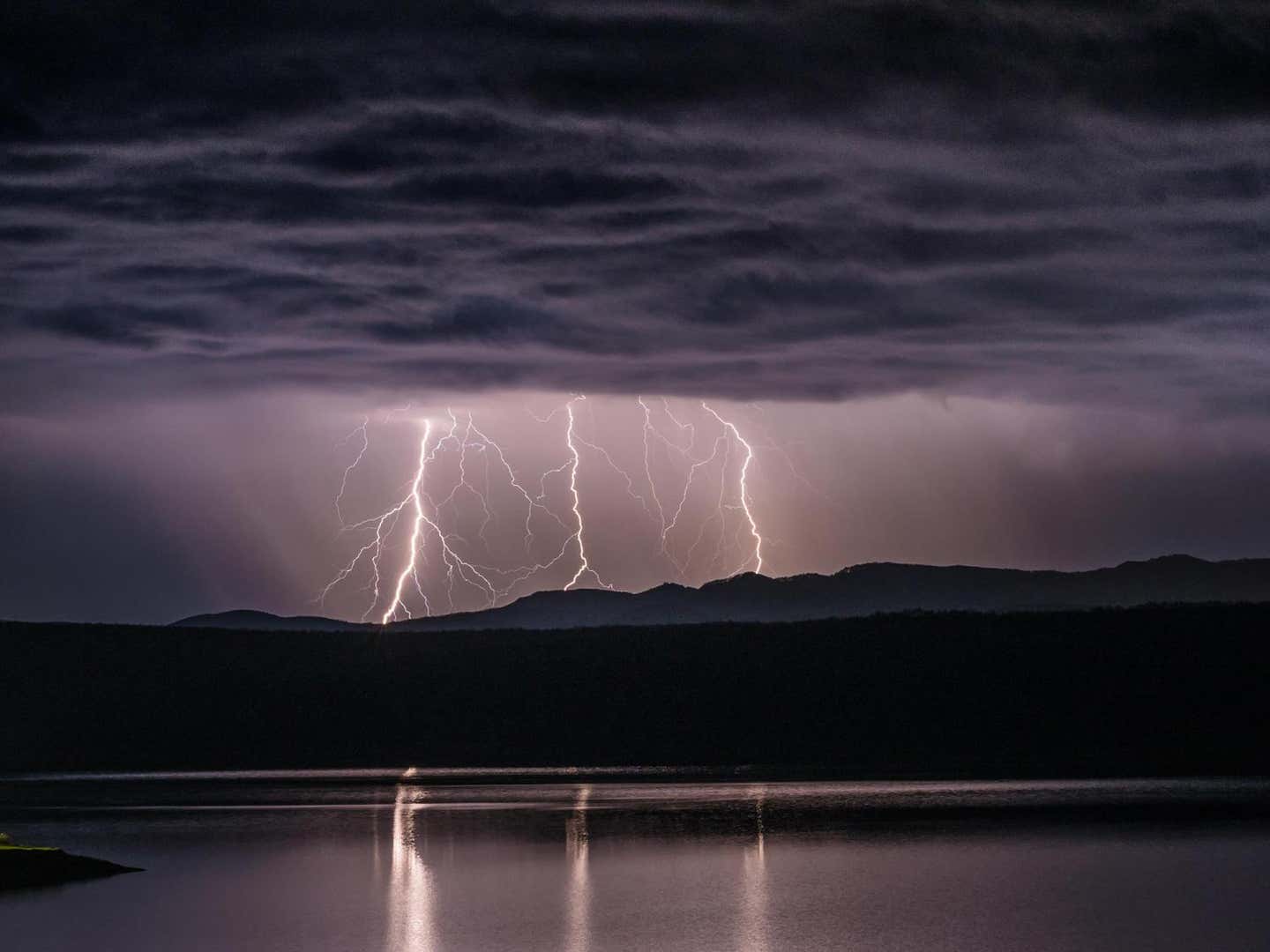
Penn State researchers used seismic signals from thunder to map weak rock and karst features as deep as 100 meters beneath campus.
Joseph Shavit