Thunderquakes turn storms into a new tool for imaging underground hazards
Penn State researchers used seismic signals from thunder to map weak rock and karst features as deep as 100 meters beneath campus.
 UPenn Writer: Emma Stefanacci

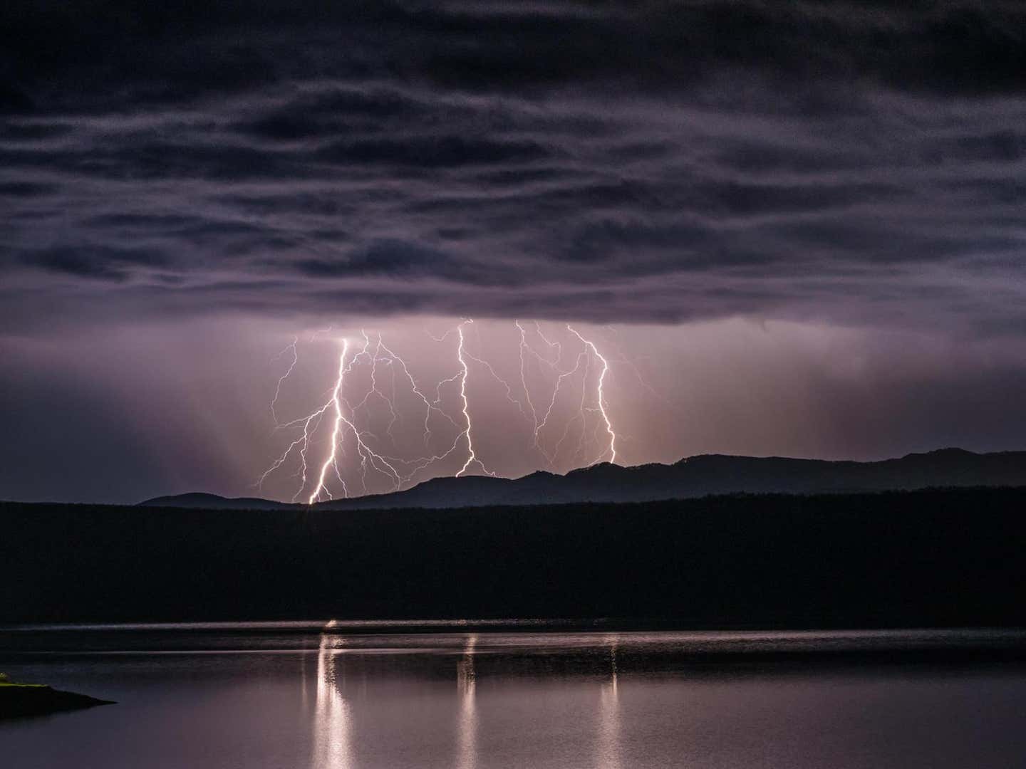
Thunderquake seismic imaging uses storm-generated vibrations and buried fiber-optic cables to reveal underground weak zones. (CREDIT: Shutterstock)
- Thunder can send enough energy into the ground to create seismic waves that researchers can use to see underground.
- Penn State researchers used 2.5 miles of buried fiber-optic cable to identify 458 thunderquakes and map weak zones beneath campus.
- The approach could help study sinkholes, groundwater and other shallow hazards in places where earthquakes or traditional seismic surveys are limited.
Thunderstorms can shake the ground in ways that do more than rattle windows. Acoustic waves from thunder can transfer energy into the Earth, creating seismic signals strong enough to help image what lies below the surface.
Researchers led by Penn State have demonstrated the first successful seismic imaging using these so-called thunderquakes. Their work used buried fiber-optic telecommunications cables beneath Penn State’s University Park campus to record how thunder-generated sound waves entered the ground.
“Thunder generates atmospheric acoustic waves that couple into the ground, producing seismic signals,” said Tieyuan Zhu, associate professor of geosciences at Penn State and corresponding author on the paper. “We demonstrated the first successful seismic imaging using thunderquakes. Not only does this research serve as a proof of concept for using thunderquakes as seismic sources for tomography, but DAS provided a new way to observe the interaction between the atmosphere and the solid Earth.”
Turning telecommunications fiber into a seismic array
The team used distributed acoustic sensing, or DAS, on a 2.5-mile (4-kilometer) fiber-optic cable buried beneath the University Park campus. A laser sent through the cable detected tiny shifts in backscattered light caused by strain from seismic waves.
The FORESEE fiber array recorded continuous seismic data from 2019 to 2021 across 2,137 sensing channels spaced about 2 meters apart. From more than two years of recordings, the team manually identified 458 high-quality thunderquakes and verified them against National Lightning Detection Network records.
Lightning creates intense shock waves along its superheated discharge channel. Several shock waves can form along the channel before weakening into acoustic waves.
When those waves reach the surface, some energy enters the ground, producing body waves, scattered waves and surface waves. That complicated mixture has made thunder difficult to use for practical seismic imaging.
“Without incredibly high-resolution sensing, it's difficult to actually piece together what's going on when the thunder hits the ground,” said lead author Nolan Roth, who conducted the work as a Penn State doctoral student and is now a postdoctoral researcher at The Ohio State University.
“With DAS, we are recording hundreds of samples every second and every few meters along the cable. This allowed us to see what was going on in that transition from atmospheric acoustic source to a seismic signal in very high resolution, which is something that nobody else has been able to do while looking at thunder.”
Thunder waves reveal weak zones below campus
The team processed each event to isolate useful seismic energy, then cross-correlated the recordings to create virtual seismic sources. Stacking roughly 141,000 virtual shots produced 309 virtual shot gathers along the array.
Those gathers contained surface-wave dispersion, where different frequencies travel at different speeds. The researchers used those patterns to estimate shear-wave velocity and map changes in underground materials.
The resulting 309 one-dimensional models reached depths of about 100 meters. Independent engineering surveys and borehole records broadly matched major subsurface changes found in the thunderquake-derived models.
Combined into a larger image, the models revealed four low-velocity weak zones about 40 to 100 meters wide. Those low velocities are consistent with weaker sediments, weathered rock, fractures or fluids.
That pattern fits the local karst geology. Limestone and dolomite beneath the area can fracture and dissolve, producing voids, drainage pathways and structures linked to sinkholes.
Satellite measurements added supporting evidence. Interferometric Synthetic Aperture Radar observations from 2017 through 2025 showed ongoing line-of-sight subsidence near two weak zones.
All four weak zones begin at roughly 28 to 50 meters deep, consistent with known voids or fractures at nearby sites.
A natural seismic source where earthquakes are scarce
Seismic tomography often relies on earthquakes, active equipment or dense monitoring networks. That can make imaging harder in regions with limited seismic activity or restricted access.
Thunderquakes offer another source. Thunderstorms are frequent across the central and eastern United States, where earthquakes are less common than in many western regions.
Existing buried fiber could reduce the need to deploy large numbers of conventional instruments.
The method has limits. The team’s modeling indicates that extremely shallow sediments with shear-wave phase velocities below the speed of sound in air, about 343 meters per second, cannot be resolved this way.
The numerical simulations also did not reproduce the full high-frequency observations directly. Computational limits required lower-frequency modeling and a vertically stretched representation of the shallow subsurface. The researchers describe those simulations as semiquantitative support for the coupling process, not exact predictions.
Practical implications of the research
Thunderquake imaging could give researchers another way to examine shallow hazards without relying entirely on earthquakes or active seismic surveys. In karst regions, that could help locate zones associated with fractures, weathering, groundwater movement and sinkhole susceptibility.
“Seismic tomography is important because it helps us understand what is happening beneath the surface,” Zhu said. “Seismic imaging can be used to evaluate additional geohazards like sinkholes or landslides, assess groundwater and mining resources and study volcanoes and magma pockets. Only tomography can give us information about the Earth's subsurface structure that we often cannot observe directly.”
The broader finding also connects atmospheric science with solid-Earth geophysics. Better measurements of how pressure waves cross from air into rock could help researchers investigate other atmospheric shock sources, including volcanic eruptions and bolides.
The team also points to possible applications beyond Earth. Lightning and thunder occur elsewhere in the solar system, so atmospheric coupling could provide another seismic source for studying planets or moons where quakes are poorly understood.
“Our research shows that thunderquakes can act as a new source for near-surface seismic imaging, especially in regions with limited access to traditional seismic sources,” Zhu said. “There are all kinds of weather variability along the East Coast, so the question for the next step is: Can we move forward and think bigger?”
Dig deeper into thunderquakes, fiber-optic seismic sensing and underground imaging
These resources explore how fiber-optic networks can measure thunder, seismic waves and urban subsurface structure, including recent work on karst hazards and atmospheric-to-ground coupling.
Diagnostic analysis of triggered lightning with distributed acoustic sensing
Researchers used a 4.2-kilometer fiber-optic array to reconstruct thunder sources in three dimensions during triggered lightning experiments, showing how DAS can resolve where thunder originates and how its acoustic energy propagates. (npj Climate and Atmospheric Science, 2025)
Characterization of shallow karst zones using distributed acoustic sensing and ambient noise tomography: A case study in Mufu Mountain, China
This study used fiber-optic sensing and ambient seismic noise to image karst structures to about 80 meters deep, with the results matching borehole observations and demonstrating the method’s value for urban geological assessment. (Engineering Geology, 2025)
Directional sensitivity of fibre optic cables for surface seismic reflection distributed acoustic sensing: a review and potential solutions for enhanced sensitivity
This review examines how fiber-optic cables respond to seismic waves, the limitations caused by their directional sensitivity and emerging cable designs that could improve subsurface imaging. (Geomechanics and Geophysics for Geo-Energy and Geo-Resources, 2025)
Tracking Lightning Through 3D Thunder Source Location With Distributed Acoustic Sensing
Dense fiber-optic measurements were used to locate thunder sources in three dimensions and investigate whether signals recorded near the ground primarily represent direct acoustic waves or seismic waves produced through air-ground coupling. (Journal of Geophysical Research: Atmospheres, 2024)
Urban subsurface exploration improved by denoising of virtual shot gathers from distributed acoustic sensing ambient noise
Using an 11-kilometer telecommunications fiber beneath Berlin, researchers showed that improved processing of ambient vibrations can produce clearer surface-wave measurements and more detailed models of shallow urban geology. (Geophysical Journal International, 2024)
Research findings are available online in the journal Science Advances.
The original story "Thunderquakes turn storms into a new tool for imaging underground hazards" is published in The Brighter Side of News.
Related Stories
- 50-megapixel Earth models view storm weather in unprecedented detail
- Mini lightning bolts help chemists turn methane into clean-burning fuel
- New discovery reinvents how lightning is formed
Like these kind of feel good stories? Get The Brighter Side of News' newsletter.
Joseph Shavit
Writer, Editor-At-Large and Publisher
Joseph Shavit, based in Los Angeles, is a seasoned science journalist, editor and co-founder of The Brighter Side of News, where he transforms complex discoveries into clear, engaging stories for general readers. With vast experience at major media companies like The Los Angeles Times, Times Mirror and Tribune Publishing, he writes with both authority and curiosity. His writing focuses on space science, planetary science, quantum mechanics, geology. Known for linking breakthroughs to real-world markets, he highlights how research transitions into products and industries that shape daily life.