New satellite technology could protect water quality around the world
New satellite tools could give scientists a global view of rivers, from water quality and pollution to drought and flood risk.
 Edited By: Joshua Shavit
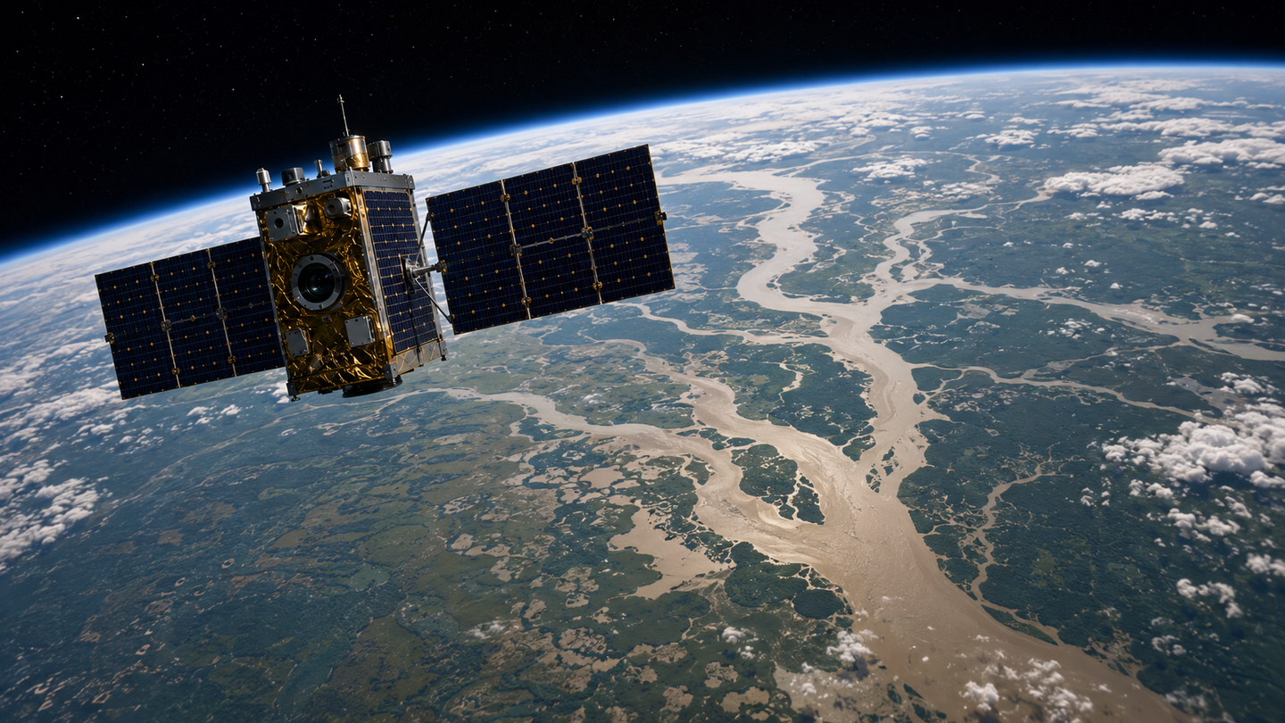
New satellite tools may help scientists track river water quality, pollution, flooding, and human impacts worldwide. (CREDIT: Wikimedia / CC BY-SA 4.0)
Rivers do not sit still for easy measurement. Some shift across floodplains, some hide under tree cover, and some disappear for months before flowing again. That makes them surprisingly hard to define, even as they remain central to drinking water, fisheries, flood risk, and the health of the seas they feed.
A new review in Nature Water argues that satellites are finally giving scientists a way to study rivers as both local systems and part of a single planetary network. The promise is not just better maps, but better warnings about pollution, drought, harmful algal blooms, and the growing human pressures reshaping waterways worldwide.
“Rivers, especially small streams, are very hard to define. They are variable and can be intermittent,” said Dongmei Feng, a professor of environmental engineering at the University of Cincinnati.
Feng and other hydrology experts say that challenge has long limited river science. Many rivers are inaccessible, and many of the smallest waterways, which make up much of the network, are the hardest to see clearly from the ground.
A clearer picture from orbit
The review traces how river remote sensing has changed since the launch of Landsat 1 in 1972. Early satellite work focused on major floods and some measurements of sediment. Global river studies did not begin in earnest until the early 2000s, when computing power, open satellite archives, and better elevation data made it possible to process huge amounts of imagery.
Since then, the field has widened fast. Researchers now use satellite observations to map river networks, track changing channels, estimate water extent, measure sediment, study ice cover, and detect human-made barriers such as dams and levees.
The review says newer systems can improve familiar measurements like river location and flow, but also open the door to harder questions about ecosystem processes and human damage. High-resolution satellites can now observe most rivers on Earth, including many narrower than 50 meters, though vegetation and other environmental conditions still affect accuracy.
That matters because rivers connect much more than landscapes. They transport water, sediment, nutrients, and carbon from headwaters to the ocean, linking the atmosphere, land, and sea in one moving system.
“Every major city has a river that defines it. Rivers provided the essential resources that allow cities to grow,” Feng said.
The paper notes that 90% of the world’s population lives within 6 miles of a river. Cities depend on them for drinking water, and estuaries depend on them for sediment and nutrients that support nurseries for fish and other marine life.
Why small rivers remain a big problem
For all the progress, the review makes clear that scientists still do not have a complete map of the world’s rivers. Existing global hydrography datasets miss many small headwater streams, which account for most river-network length. These streams are narrow, dynamic, and often hidden by riparian canopy.
That is a serious blind spot. Small streams play major roles in biodiversity, biogeochemistry, and downstream water supply. Yet they remain among the hardest features to capture consistently at global scale.
Static maps also fall short because rivers are not fixed. Channels migrate, avulsions reroute flow, reservoirs alter pathways, and intermittent streams switch on and off. Current datasets often struggle with floodplains, wetlands, lake-river boundaries, and delta regions where channels split into distributaries.
The review argues that combining multiple kinds of observations, including topography, optical imagery, radar, and future LiDAR-style measurements, could improve that picture. Planned missions such as CHIME, Surface Biology and Geology, and Landsat Next are expected to expand what scientists can detect about river water quality and ecosystem function.
“In the paper, we advocate for the idea that rivers should be studied at a global scale and individually,” Feng said.
“Every river is unique, defined by its distinct climate, surrounding environment and human footprint,” she said. “That’s why we want to study each at scale.”
From river shape to river chemistry
One of the biggest advances may come from water quality monitoring. Co-lead author Xiao Yang of Southern Methodist University said satellites can detect changes in the spectrum of light, allowing researchers to identify nutrients and other constituents in the water.
“This will be an ambitious goal but will be well worth the effort,” Yang said.
The review says most satellite water-quality work has so far focused on optically active variables such as suspended sediment, chlorophyll a, and organic matter. Global studies remain limited, but recent work has already shown broad changes in sediment transport, including contrasting patterns between hemispheres and major changes across large portions of global river channels.
The same tools could eventually be used to study far more, including phosphorus, pigments tied to algae, carbon compounds, hydrocarbons, salinity, and even contaminants that are difficult to monitor broadly from the ground.
Feng is already pursuing part of that challenge. She received an approximately $800,000 National Science Foundation CAREER grant this year to study nutrient dynamics in rivers tied to toxic algal blooms.
Her project will examine 50 years of river data to understand how nutrients move through river systems and how that knowledge might support earlier warnings.
“You never know until you study it. Satellite remote sensing provides a powerful means to achieve this,” she said.
What satellites can and cannot do
The stakes are practical. When fertilizers or sewage overload waterways with nutrients, algae can explode. The blooms block sunlight, damage aquatic plant life, and, once dead, feed bacteria that strip oxygen from the water. The process, eutrophication, can create dead zones and trigger fish die-offs.
Toxic cyanobacteria within those blooms can also threaten people. The material you shared notes they can cause rashes, nausea, and even liver or neurological damage. Treating contaminated drinking water is costly and complex. Feng said at least 40% of U.S. rivers have nutrient pollution problems.
Still, the review does not oversell the technology. Many important signals remain difficult to retrieve globally. Clouds, vegetation, sun glint, shadows, and bottom reflectance can all interfere with optical measurements. Discharge estimates remain uncertain in some complex rivers. Flood monitoring is limited by revisit times and sensor resolution. Human impacts can also be subtle, short-lived, or too small to detect directly.
The authors argue that the path forward will require more than satellites alone. They call for combining multi-mission data with physical models and machine learning, building public platforms for river-gauge data, improving field sampling, and moving beyond one-variable studies toward a fuller picture of how discharge, geomorphology, water quality, and human infrastructure change together.
Practical implications of the research
The review points toward a future in which rivers are monitored more continuously, even in places with little or no ground data.
That could improve early warnings for toxic algal blooms, sharpen flood and drought planning, track how dams and mining alter rivers, and reveal where water quality is degrading before the damage spreads downstream.
For cities that rely on rivers for drinking water, and for communities exposed to pollution or flooding, that kind of global watch system could become an important public tool.
Research findings are available online in the journal Nature Water.
The original story "New satellite technology could protect water quality around the world" is published in The Brighter Side of News.
Related Stories
- NASA satellites help scientists observe how rivers carve the Earth
- Meandering rivers existed before land plants appeared, Stanford study finds
- Scientists predict catastrophic river shifts that threaten millions worldwide
Like these kind of feel good stories? Get The Brighter Side of News' newsletter.
Rebecca Shavit
Writer
Based in Los Angeles, Rebecca Shavit is a dedicated science and technology journalist who writes for The Brighter Side of News, an online publication committed to highlighting positive and transformative stories from around the world. Having published articles on MSN, AOL News, and Yahoo News, Rebecca's reporting spans a wide range of topics, from cutting-edge medical breakthroughs to historical discoveries and innovations. With a keen ability to translate complex concepts into engaging and accessible stories, she makes science and innovation relatable to a broad audience.